2004_Alaska_fire_season_map.jpg

Size of this preview:
737 × 600 pixels
.
Other resolutions:
295 × 240 pixels
|
590 × 480 pixels
|
944 × 768 pixels
|
1,258 × 1,024 pixels
|
2,516 × 2,048 pixels
|
3,096 × 2,520 pixels
.
Summary
| Description |
English:
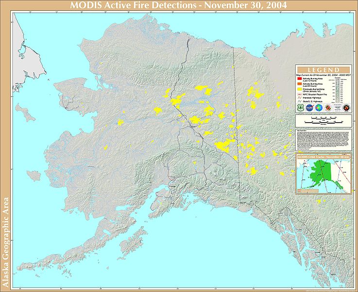
A map of wildfires in Alaska and the Yukon Territory during 2004, created by various U.S. governmental agencies.
|
| Date | |
| Source | National Climactic Data Center |
| Author | USDA Forest Service Remote Sensing Applications Center |
Licensing
|
|
This image is in the
public domain
because it contains materials that originally came from the U.S.
National Oceanic and Atmospheric Administration
, taken or made as part of an employee's official duties.
|
|