1586map.jpg
Size of this preview:
800 × 554 pixels
.
Other resolutions:
320 × 222 pixels
|
640 × 443 pixels
|
1,024 × 709 pixels
|
1,300 × 900 pixels
.
Summary
| Camera location |
|
View this and other nearby images on: OpenStreetMap |
|
|---|
| Description |
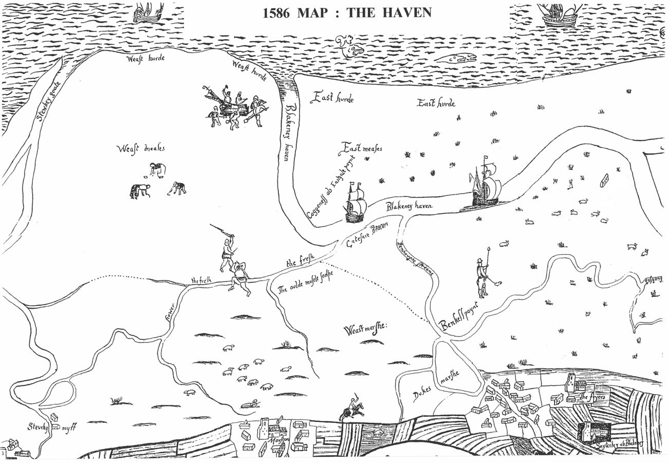
English:
1586 map of Blakeney marshes. Taken from photograph in Wright's article
|
| Date | |
| Source | Wright, John (1999). "1586 Map of Blakeney Haven and Port of Cley: Part II". Glaven Historian 2: 3–8. |
| Author | Unknown author |
Licensing
|
|
This media file is in the
public domain
in the
United States
. This applies to U.S. works where the copyright has expired, often because its first
publication
occurred prior to January 1, 1929, and if not then due to lack of notice or renewal. See
this page
for further explanation.
|

|

|
This image might not be in the public domain outside of the United States; this especially applies in the countries and areas that do not apply the
rule of the shorter term
for US works, such as Canada, Mainland China (not Hong Kong or Macao), Germany, Mexico, and Switzerland. The creator and year of publication are essential information and must be provided. See
Wikipedia:Public domain
and
Wikipedia:Copyrights
for more details.
|