1263_Mediterranean_Sea.svg

Size of this PNG preview of this SVG file:
800 × 367 pixels
.
Other resolutions:
320 × 147 pixels
|
640 × 293 pixels
|
1,024 × 469 pixels
|
1,280 × 587 pixels
|
2,560 × 1,173 pixels
|
925 × 424 pixels
.
Summary
| Description |
English:
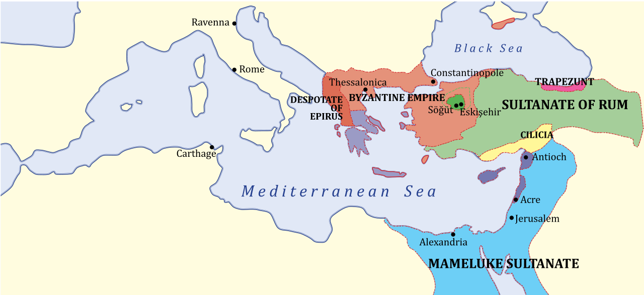
Map of Eastern
Mediterranean region
— with Near East and southeastern Balkans, c.
1263
.
|
| Date | (UTC) |
| Source | |
| Author |
|
| Other versions |
[
]
|


|
|
This is a
retouched picture
, which means that it has been digitally altered from its original version. Modifications:
SVG version
. The original can be viewed here:
1263 Mediterranean Sea.PNG
:
|
en:Category:Maps of the Byzantine Empire
Licensing
I, the copyright holder of this work, hereby publish it under the following license:
|
|
This work has been released into the
public domain
by its author,
Example
, at the [[::|English Wikipedia]] project
. This applies worldwide.
In case this is not legally possible:
|
Original upload log
This image is a derivative work of the following images:
-
File:1263_Mediterranean_Sea.PNG
licensed with PD-user-w
- 2009-08-31T12:53:31Z Shizhao 801x370 (141734 Bytes) {{Information |Description={{en|Middle East c. 1263. KEY: *Dark Green: Ottoman domain by 1300's, dotted line indicates conquests up to 1326 *Purple: Byzantine Empire (successor of Nicaean Empire) *Light Green: Turk lands, nom
Uploaded with derivativeFX