0_Maincy_-_Château_de_Vaux-le-Vicomte_(2).JPG

Size of this preview:
800 × 533 pixels
.
Other resolutions:
320 × 213 pixels
|
640 × 427 pixels
|
1,024 × 683 pixels
|
1,280 × 854 pixels
|
2,560 × 1,707 pixels
|
4,892 × 3,262 pixels
.
Summary
| Description |
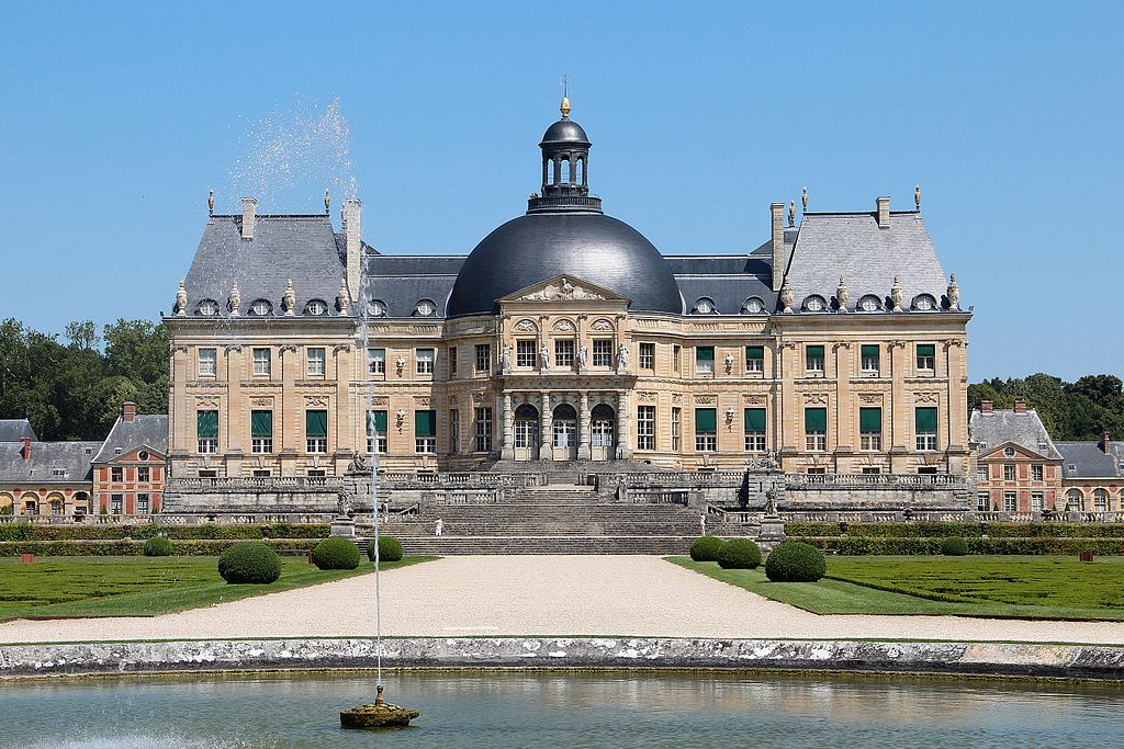
Français :
La façade sud du château de Vaux-le-Vicomte vue depuis le "Rond d'eau" - Maincy (Seine-et-Marne, France).
English:
The south facade of the castle of Vaux-le-Vicomte seen from the "Rond d'eau" - Maincy (Seine-et-Marne, France).
|
||
| Date | |||
| Source | Own work | ||
| Author | Jean-Pol GRANDMONT | ||
|
Permission
( Reusing this file ) |
|
||
| Other versions |
|

.JPG)
.JPG)
| Camera location |
|
View this and other nearby images on: OpenStreetMap |
|
|---|
.JPG¶ms=048.563714_N_0002.714511_E_globe:Earth_type:camera__&language=en)
|
|
This building is
classé au titre des
monuments historiques de la France
. It is indexed in the
base Mérimée
, a database of architectural heritage maintained by the
French Ministry of Culture
, under the references
PA00087074
|
Licensing
I, the copyright holder of this work, hereby publish it under the following license:
This file is licensed under the
Creative Commons
Attribution-Share Alike 3.0 Unported
license.
-
You are free:
- to share – to copy, distribute and transmit the work
- to remix – to adapt the work
-
Under the following conditions:
- attribution – You must give appropriate credit, provide a link to the license, and indicate if changes were made. You may do so in any reasonable manner, but not in any way that suggests the licensor endorses you or your use.
- share alike – If you remix, transform, or build upon the material, you must distribute your contributions under the same or compatible license as the original.

|
This image was uploaded as part of
Wiki Loves Monuments 2013
.
|
|
|
|
This image has been assessed using the
Quality image guidelines
and is considered a
Quality image
.
|