N69_highway_(Philippines)

Negros Occidental Eco-Tourism Highway

Negros Occidental Eco-Tourism Highway

Scenic highway in Negros Occidental, Philippines


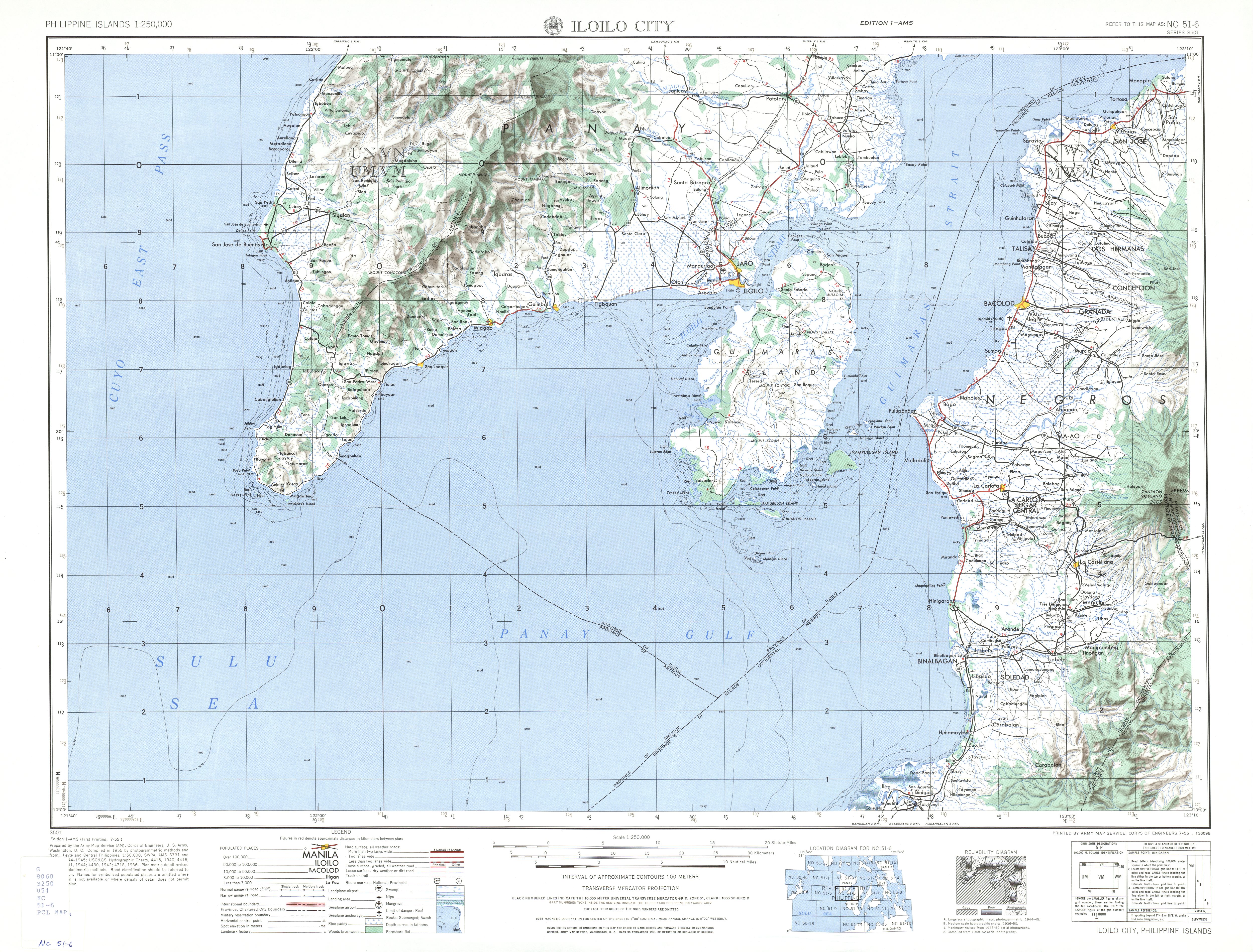
The Negros Occidental Eco-Tourism Highway, officially known as the Bacolod–San Carlos Road and Bacolod–Murcia–Don Salvador Benedicto–San Carlos Road, is an 81.12-kilometer (50.41 mi) scenic highway that connects the city of Bacolod[1] to the city of San Carlos in Negros Occidental, Philippines.[2] It cuts through the north-central Negros Island and traverses the Northern Negros Natural Park, north of Mount Kanlaon. Its western segment in Bacolod also known as Alijis Road has a two-way bicycle lane.

Alijis Road in Bacolod with the N69 reassurance marker and bicycle lanes
Quick Facts Route information, Length ...

The entire highway is designated as National Route 69 (N69) of the Philippine highway network.

History

The highway originated from an old road connecting Bacolod to the foot of Mount Kanlaon in Murcia that is also historically part of Highway 336. It was later extended to San Carlos sometime after World War II.[3]

Intersections

The entire route is located in Negros Occidental. Intersections are numbered by kilometer post, with Negros Occidental Provincial Capitol in Bacolod designated as kilometer zero. 

More information City/Municipality, km ...

References

  1. "Bacolod City". Department of Public Works and Highways. Retrieved November 21, 2018.
  2. "Negros Occidental 1st". Department of Public Works and Highways. Retrieved November 21, 2018.
  3. NC 51-6 Iloilo City (Map). 1:250,000. S501. Washington D.C.: Army Map Service, Corps of Engineers. 1954. Retrieved June 1, 2023.

Share this article:

This article uses material from the Wikipedia article N69_highway_(Philippines), and is written by contributors. Text is available under a CC BY-SA 4.0 International License; additional terms may apply. Images, videos and audio are available under their respective licenses.