United_Nations_Avenue

United Nations Avenue

United Nations Avenue

Avenue in Manila, Philippines


United Nations Avenue (also known as U.N. Avenue and formerly known as Isaac Peral Street) is a major thoroughfare in Manila, Philippines. A commercial, residential and industrial artery, the avenue runs east–west through the near-center of the city linking Ermita and Rizal Park with the eastern districts. It is home to the World Health Organization Western Pacific headquarters.

Quick Facts Former name(s), Part of ...

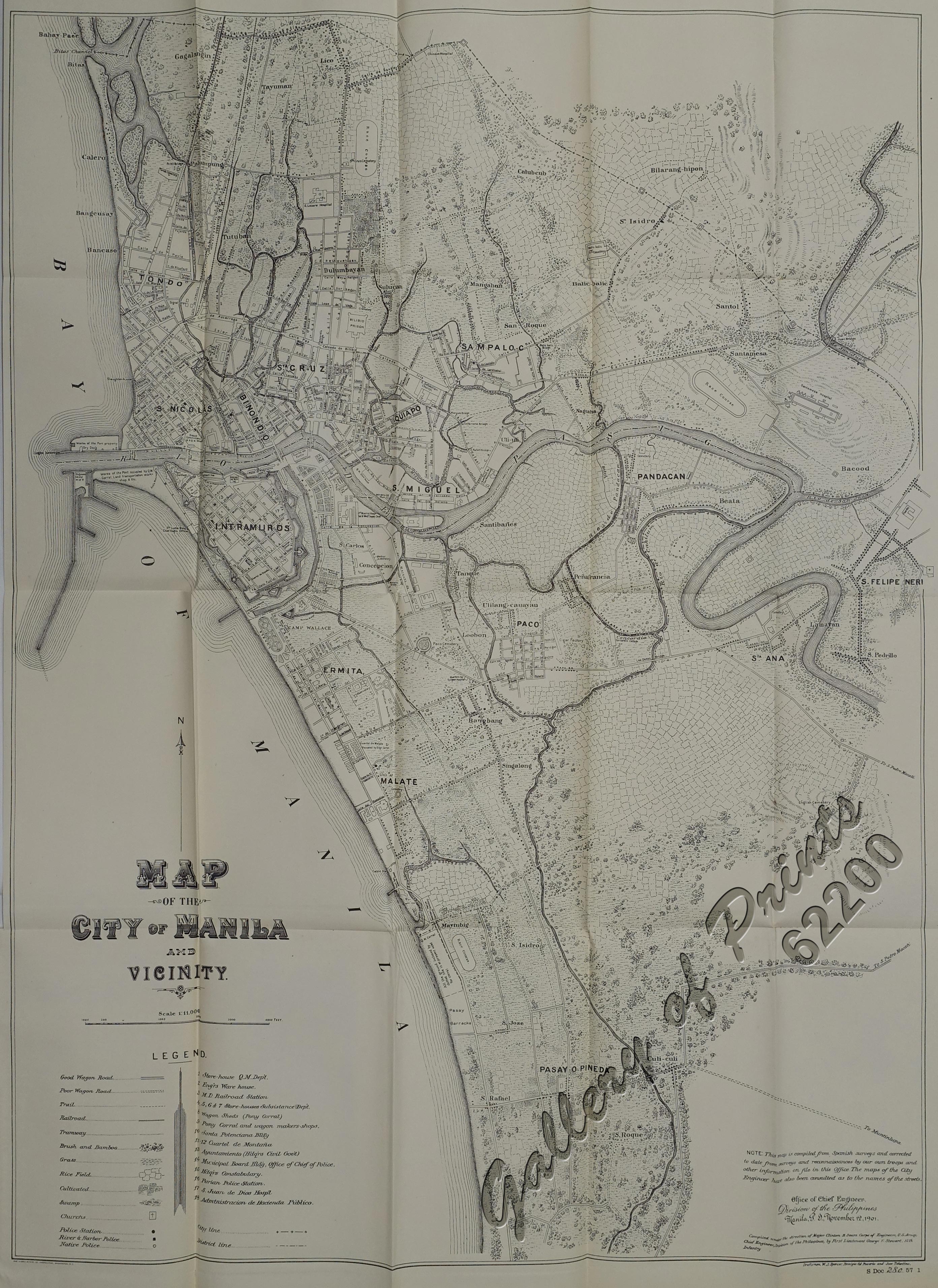
U.N. Avenue begins at a fork in Quirino Avenue Extension, Paz Mendoza Guazon Street, and Cristobal Street, just west of Pandacan. It continues through the area of Tanque and Isla de Provisor in northern Paco district passing several rows of warehouses and a few institutional buildings. West of Taft Avenue lies busy Ermita district with a mix of hotels, offices and hospital buildings. Roxas Boulevard lies at its western terminus, with the U.S. Embassy in Manila as the terminating vista.

The avenue is served by the United Nations LRT station.

History

United Nations Avenue was formerly known as Isaac Peral Street, after the Spanish engineer who designed the world's first fully capable military submarine in the late 19th century.[2] Originally a short street in Ermita,[3][4] it was later extended towards Paco, linking it to what was then called Calle Canonigo, which later became part of the avenue that ended at the present-day Tanque Street.[citation needed] It was previously planned to reach as far as Pandacan at the east; however, it only reached up to its present-day terminus in Paco.[5]

It was later renamed in recognition of the World Health Organization, a United Nations agency, whose building was built in 1959 in the former University of the Philippines property located at its southwest corner with Taft Avenue.[6] The avenue was also the site of the first Hilton Hotel in the Philippines which opened in 1960.[7] This hotel is now Waterfront Manila Hotel and Casino.

Points of interest

The Waterfront Manila Pavilion Hotel and Casino at the junction with Maria Orosa Street

References

  1. "South Manila". Retrieved May 23, 2020.
  2. "Old Manila streets lose names to politicians". Philippine Daily Inquirer. June 24, 2007. Archived from the original on July 17, 2010. Retrieved September 27, 2013.
  3. de Gamoneda, Francisco J. (1898). Plano de Manila y sus Arrables [Map of Manila and its suburbs] (Map). 1:10,000 (in Spanish). Retrieved April 3, 2022.
  4. Map of the City of Manila and Vicinity (Map). 1:11000. Office of Chief Engineers, Division of the Philippines. November 12, 1901. Retrieved April 3, 2022.
  5. Map of City of Manila and Vicinity (Map). 1:10560. Washington D.C.: Office of the Department Engineer, Philippine Department. 1915. Retrieved October 14, 2021.

14°34′56″N 120°59′5″E


Share this article:

This article uses material from the Wikipedia article United_Nations_Avenue, and is written by contributors. Text is available under a CC BY-SA 4.0 International License; additional terms may apply. Images, videos and audio are available under their respective licenses.