Majors_Creek,_Queensland
Majors Creek, Queensland
Suburb of City of Townsville, Queensland, Australia
Majors Creek is a locality split between the City of Townsville and the Shire of Burdekin, Queensland, Australia.[2][3] In the 2016 census, Majors Creek had a population of 329 people.[1]
Download coordinates as:
| Majors Creek Queensland | |||||||||||||||
|---|---|---|---|---|---|---|---|---|---|---|---|---|---|---|---|
| Coordinates | 19.6360°S 147.0069°E / -19.6360; 147.0069 (Majors Creek (centre of locality)) | ||||||||||||||
| Population | 329 (2016 census)[1] | ||||||||||||||
| • Density | 1.662/km2 (4.304/sq mi) | ||||||||||||||
| Postcode(s) | 4816 | ||||||||||||||
| Area | 198 km2 (76.4 sq mi) | ||||||||||||||
| Time zone | AEST (UTC+10:00) | ||||||||||||||
| Location |
| ||||||||||||||
| LGA(s) | |||||||||||||||
| State electorate(s) | Burdekin | ||||||||||||||
| Federal division(s) | |||||||||||||||
| |||||||||||||||
The locality lies on the plain to the south of Mount Elliot. It is bounded by Haughton River to the east, Major Creek to the south and an unnamed creek to the west.[4]
Most of the locality is at elevations of 30 to 50 metres (98 to 164 ft) above sea level,[4] but there are some hills including:
- Major Creek Mountain in the east of the locality (19.6317°S 147.0913°E / -19.6317; 147.0913 (Major Creek Mountain)) at 295 metres (968 ft)[5][6]
- Artillery Hill in the centre of the locality (19.6410°S 147.0192°E / -19.6410; 147.0192 (Artillery Hill)) at 215 metres (705 ft)[5][7]
- South Double in the centre of the locality (19.6494°S 146.9854°E / -19.6494; 146.9854 (South Double)) at 140 metres (460 ft)[5][8]
Major's Creek State School opened on 9 February 1934.[9] It was mothballed on 31 December 2008 when enrolments were under 10 students.[10] It closed on 31 December 2009.[11] In 2012, when the school's land and buildings were to sold, a reunion was held at the school to dig up the time capsule buried in 1984 to celebrate the school's 50th anniversary.[12][13] The school was at 54 Majors Creek Road (19.5985°S 146.9015°E / -19.5985; 146.9015 (Majors Creek State School (former))).[14][15] It sold in May 2012 for $264,000.[16]
In the 2016 census, Majors Creek had a population of 329 people.[1]
Majors Creek Homestead is in the east of the locality (19.6476°S 147.0908°E / -19.6476; 147.0908 (Majors Creek (homestead))).[17]
There are no schools in Majors Creek. The nearest primary schools are Woodstock State School in neighbouring Woodstock to the west, Giru State School in Giru to the north-east and Clare State School in Clare to the south-east. The nearest secondary schools are William Ross State High School in Annandale in Townsville to the north-west, Ayr State High School in Ayr to the north-east, and Home Hill State High School in Home Hill to the east.[4]
- Australian Bureau of Statistics (27 June 2017). "Majors Creek (SSC)". 2016 Census QuickStats. Retrieved 20 October 2018.

- "Majors Creek – City of Townsville (entry 44608)". Queensland Place Names. Queensland Government. Retrieved 24 February 2016.
- "Majors Creek – Shire of Burdekin (entry 42308)". Queensland Place Names. Queensland Government. Retrieved 24 February 2016.
- "Queensland Globe". State of Queensland. Retrieved 14 December 2020.
- "Mountain peaks and capes - Queensland". Queensland Open Data. Queensland Government. 12 November 2020. Archived from the original on 25 November 2020. Retrieved 25 November 2020.
- "Major Creek Mountain – mountain in Burdekin Shire (entry 20657)". Queensland Place Names. Queensland Government. Retrieved 25 November 2020.
- "Artillery Hill – mountain in Townsville City (entry 902)". Queensland Place Names. Queensland Government. Retrieved 25 November 2020.
- "South Double – mountain in Townsville City (entry 31448)". Queensland Place Names. Queensland Government. Retrieved 25 November 2020.
- Queensland Family History Society (2010), Queensland schools past and present (Version 1.01 ed.), Queensland Family History Society, ISBN 978-1-921171-26-0
- "Opening and closing dates of Queensland Schools". Queensland Government. Retrieved 27 November 2019.
- "Queensland state school - centre closures" (PDF). Queensland Government. 20 August 2013. Archived (PDF) from the original on 20 March 2022. Retrieved 6 April 2022.
- Fernbach, Nathalie (23 August 2012). "Back to Majors Creek". Australian Broadcasting Corporation. Archived from the original on 13 April 2022. Retrieved 27 November 2019.
- Stafford, Megan (21 September 2012). "Majors Creek marches on". Farm Online. Archived from the original on 15 December 2020. Retrieved 15 December 2020.
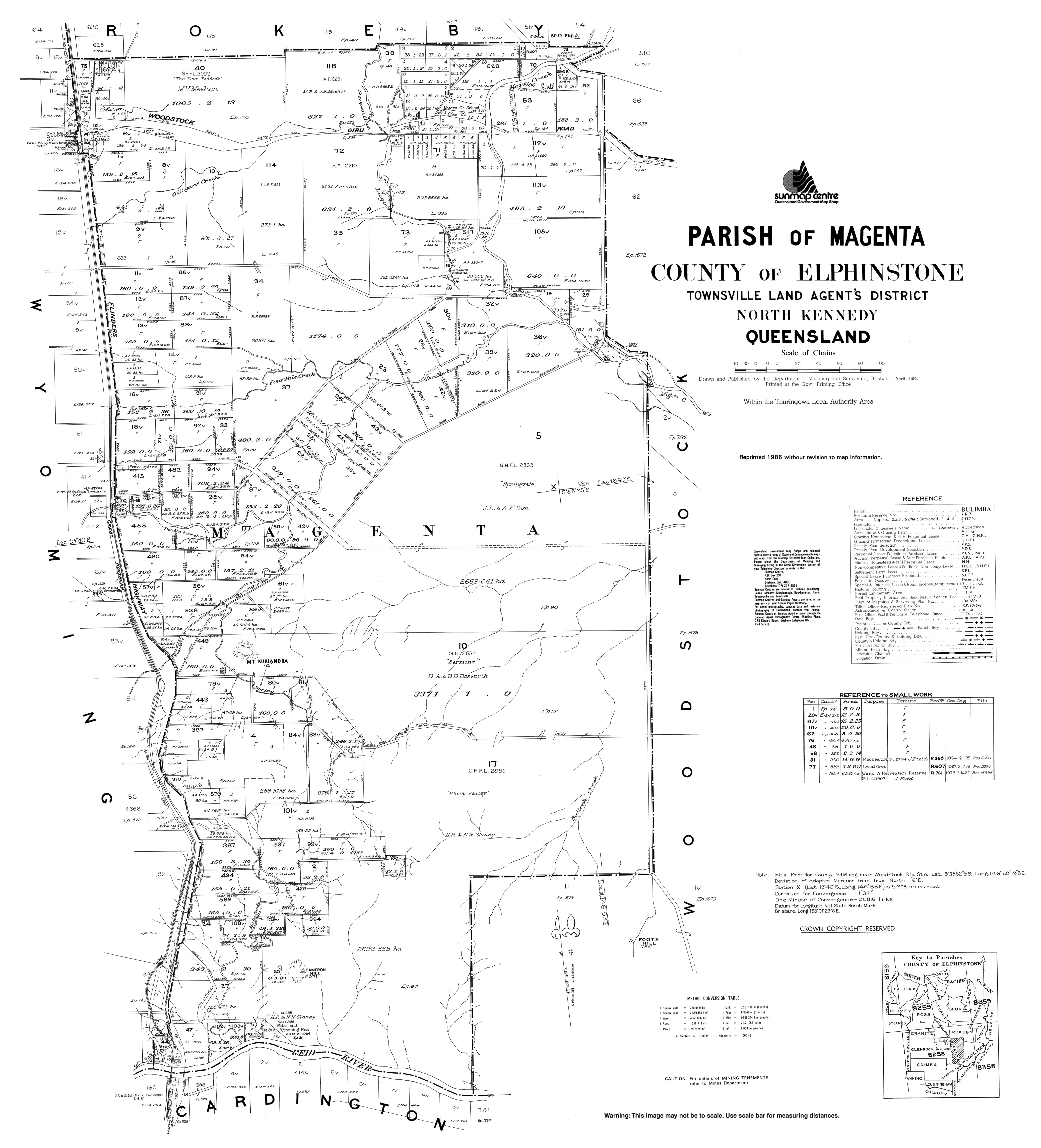
- "Parish of Magenta" (Map). Queensland Government. 1980. Retrieved 13 April 2022.
- "Building points - Queensland". Queensland Open Data. Queensland Government. 17 November 2020. Archived from the original on 25 November 2020. Retrieved 25 November 2020.
- "54 Majors Creek Road, Majors Creek Qld 4816". Realestate.com.au. Retrieved 15 December 2020.
- "Homesteads - Queensland". Queensland Open Data. Queensland Government. 18 November 2020. Archived from the original on 24 November 2020. Retrieved 24 November 2020.