Chyolomdzha

Chyolomdzha

Chyolomdzha

River in Magadan Oblast, Russia


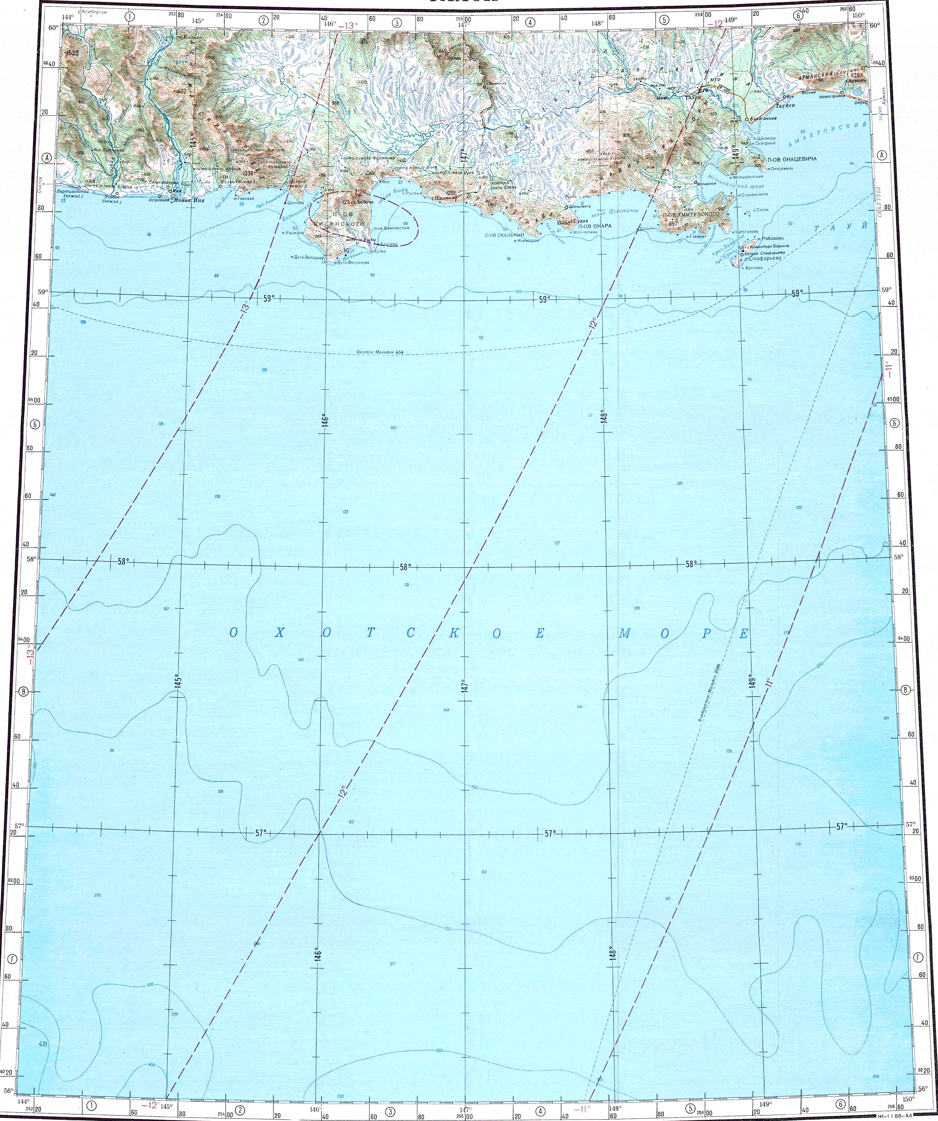
The Chyolomdzha (Russian: Чёломджа; Even: Чаламдя) is a river in Magadan Oblast, Russia. It has a length of 228 kilometres (142 mi) and a drainage basin of 12,000 square kilometres (4,600 sq mi).[2]

Quick Facts Chyolomdzha Чёломджа / Чаламдя, Location ...

The Chyolomdzha is the longest tributary of the Taui (Kava) and flows across an uninhabited area, part of the Magadan Nature Reserve.[3] The name of the river originated in the Even language.[4]

Course

The source of the Chyolomdzha is in the Upper Kolyma Highlands. The river heads in a roughly southern direction, flowing fast across mountainous terrain, then it turns to the southeast descending into a floodplain where it slows down and splits into multiple sleeves, while the channels form meanders. Finally the Chyolomdzha joins the left bank of the Taui in the wide Kava-Taui Plain, 66 kilometres (41 mi) from its mouth in the Sea of Okhotsk.[3][1][5]

The river freezes yearly between early October and late May.[5] Its main tributary is the 124 km (77 mi) long Burgagylkan (Бургагылкан), joining its left bank in the lower course.[2]

Fauna

Different species of salmonids live in the waters of the Chyolomdzha, including chum salmon, malma, coho salmon and kundzha, as well as grayling.

The banks of the river provide a habitat for the Blakiston's fish owl, an endangered species.[6]

See also


References

  1. "Река Чёломджа in the State Water Register of Russia". textual.ru (in Russian).
  2. Leontyev V.V. , Novikova K.A. Toponymic dictionary of the North-East of the USSR, USSR Academy of Sciences. Magadan, 1989 - p. 409 - ISBN 5-7581-0044-7

Share this article:

This article uses material from the Wikipedia article Chyolomdzha, and is written by contributors. Text is available under a CC BY-SA 4.0 International License; additional terms may apply. Images, videos and audio are available under their respective licenses.