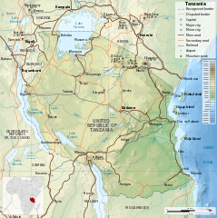
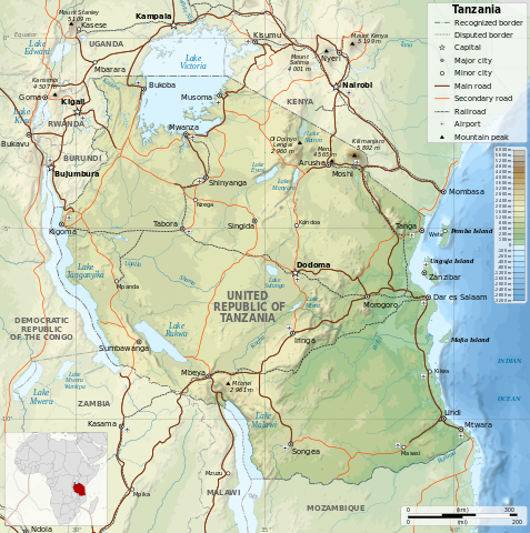
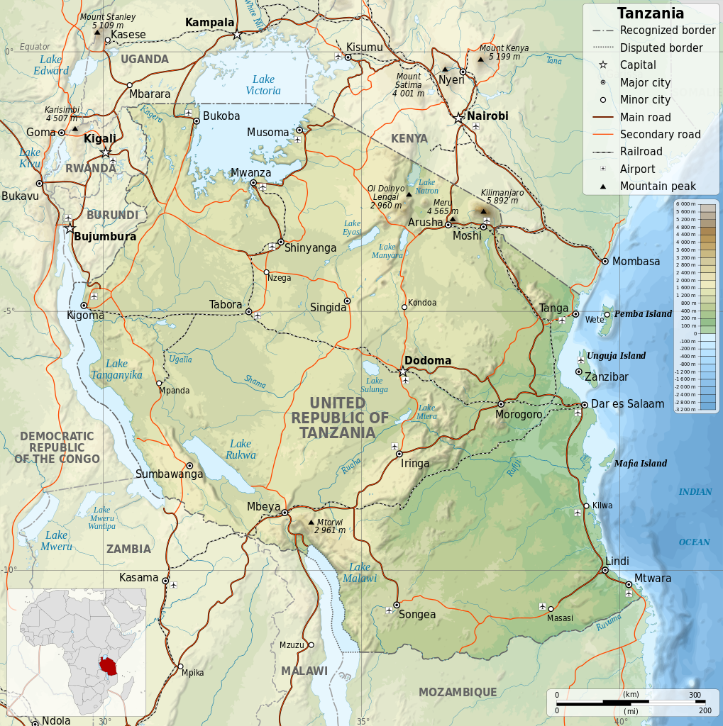
Tanzania_map-en.svg

Size of this PNG preview of this SVG file:
596 × 599 pixels
.
Other resolutions:
239 × 240 pixels
|
477 × 480 pixels
|
764 × 768 pixels
|
1,019 × 1,024 pixels
|
2,037 × 2,048 pixels
|
2,064 × 2,075 pixels
.
| Description |
English:
Map of
Tanzania
in English. Equirectangular projection. 1° N, 28° W, 42° E, -13° S.
|
||
| Date | |||
| Source | |||
| Author |
|
||
|
Permission
( Reusing this file ) |
I, the copyright holder of this work, hereby publish it under the following licenses:
This file is licensed under the
Creative Commons
Attribution-Share Alike
4.0 International
,
3.0 Unported
,
2.5 Generic
,
2.0 Generic
and
1.0 Generic
license.
You may select the license of your choice.
|
||
| Other versions |
[
]
|


