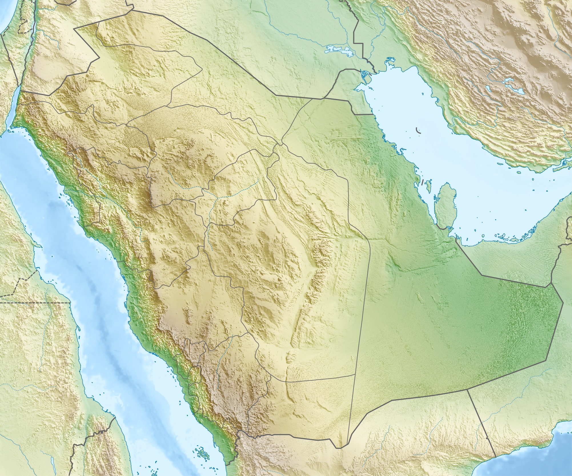
Saudi_Arabia_relief_location_map.jpg
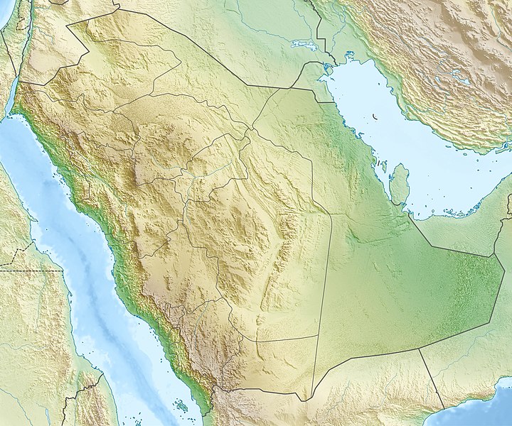
Size of this preview:
720 × 600 pixels
.
Other resolutions:
288 × 240 pixels
|
577 × 480 pixels
|
922 × 768 pixels
|
1,230 × 1,024 pixels
|
2,003 × 1,668 pixels
.
| Description |
العربية:
خريطة مواقع
السعودية
.
إسقاط متساوي المستطيلات (الإسقاط الجغرافي)، شمال / جنوب امتداد 110٪. الحدود الجغرافية للخريطة:
Deutsch:
Physische Positionskarte von
Saudi-Arabien
Quadratische Plattkarte, N-S-Streckung 110 %. Geographische Begrenzung der Karte:
English:
Physical location map of
Saudi Arabia
Equirectangular projection, N/S stretching 110 %. Geographic limits of the map:
|
| Date | |
| Source | Own work , using map data from administrative map by NordNordWest. The relief was created from SRTM-30 relief data. |
| Author | Carport |
|
Permission
( Reusing this file ) |
This file is licensed under the
Creative Commons
Attribution-Share Alike 3.0 Unported
license.
|
| Other versions |
|
.jpg)


