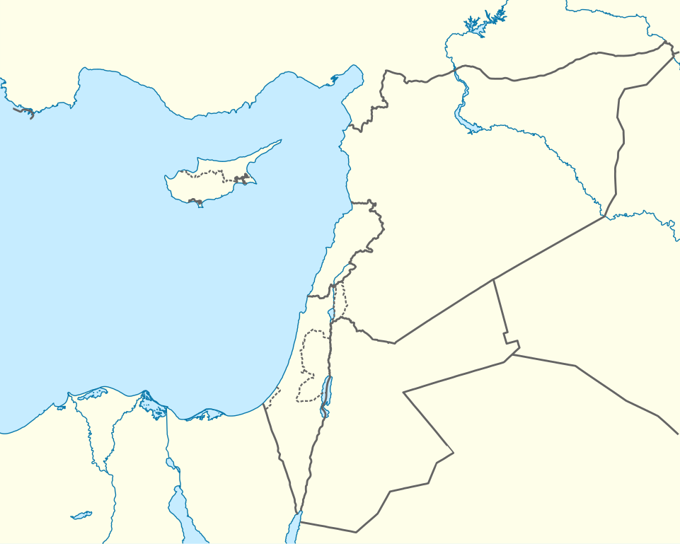
Mediterranean_Sea_East_location_map.svg

Size of this PNG preview of this SVG file:
750 × 600 pixels
.
Other resolutions:
300 × 240 pixels
|
601 × 480 pixels
|
961 × 768 pixels
|
1,280 × 1,023 pixels
|
2,560 × 2,046 pixels
|
957 × 765 pixels
.
Summary
| Description |
Deutsch:
Positionskarte des östlichen
Mittelmeers
Quadratische Plattkarte, N-S-Streckung 120 %. Geographische Begrenzung der Karte:
English:
Location map of the Eastern
Mediterranean Sea
Equirectangular projection, N/S stretching 120 %. Geographic limits of the map:
|
|
| Date | ||
| Source | Own work using: World Data Base II data | |
| Author | NordNordWest | |
|
Permission
( Reusing this file ) |
This file is licensed under the
Creative Commons
Attribution-Share Alike 3.0 Germany
license.

|


|
This map has been made or improved in the German
Kartenwerkstatt
(Map Lab)
. You can
propose maps
to improve as well.
|
Licensing
This file is licensed under the
Creative Commons
Attribution-Share Alike 3.0 Germany
license.
-
You are free:
- to share – to copy, distribute and transmit the work
- to remix – to adapt the work
-
Under the following conditions:
- attribution – You must give appropriate credit, provide a link to the license, and indicate if changes were made. You may do so in any reasonable manner, but not in any way that suggests the licensor endorses you or your use.
- share alike – If you remix, transform, or build upon the material, you must distribute your contributions under the same or compatible license as the original.