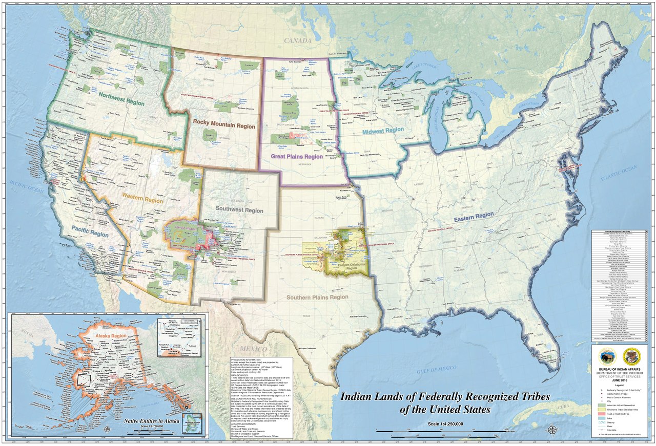
Indian_Lands_of_Federally_Recognized_Tribes_of_the_US,_June_2016.pdf

Size of this JPG preview of this PDF file:
800 × 544 pixels
.
Other resolutions:
320 × 218 pixels
|
640 × 435 pixels
|
1,024 × 697 pixels
|
1,280 × 871 pixels
|
2,560 × 1,742 pixels
|
7,050 × 4,797 pixels
.

|
This
map
image could be re-created
using
vector graphics
as an
SVG
file
. This has several advantages; see
Commons:Media for cleanup
for more information. If an SVG form of this image is available, please upload it and afterwards replace this template with
{{

vector version available

|

new image name

}}
.
It is recommended to name the SVG file “Indian Lands of Federally Recognized Tribes of the US, June 2016.svg”—then the template Vector version available (or Vva ) does not need the new image name parameter. |
Summary
| Description |
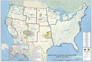
English:
2016 map of Indian Reservations in the United States. Uploaded due to
a request
|
| Date | |
| Source | https://www.bia.gov/sites/bia.gov/files/assets/bia/ots/webteam/pdf/idc1-028635.pdf |
| Author | BUREAU OF INDIAN AFFAIRS, DEPARTMENT OF THE INTERIOR |
Licensing
|
|
This image or media file contains material based on a work of a United States Department of the Interior employee, created as part of that person's official duties. As a work of the U.S. federal government , such work is in the public domain in the United States. See the Department of the Interior copyright policy for more information. |

|