Estonia_municipalities.png

Size of this preview:
800 × 513 pixels
.
Other resolutions:
320 × 205 pixels
|
640 × 411 pixels
|
1,024 × 657 pixels
|
1,280 × 821 pixels
|
1,601 × 1,027 pixels
.
Summary
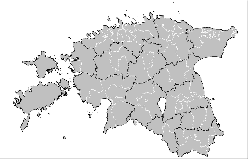
| Description | Map of the municipalities of Estonia after the 2017 municipal reform. Created by Rarelibra 15:43, 20 December 2006 (UTC) for public domain use, using MapInfo Professional v8.5 and various mapping resources. |
| Date | 20 December 2006 (original upload date) |
| Source | No machine-readable source provided. Own work assumed (based on copyright claims). |
| Author | No machine-readable author provided. Rarelibra assumed (based on copyright claims). |

|
This
image could be re-created
using
vector graphics
as an
SVG
file
. This has several advantages; see
Commons:Media for cleanup
for more information. If an SVG form of this image is available, please upload it and afterwards replace this template with
{{

vector version available

|

new image name

}}
.
It is recommended to name the SVG file “Estonia municipalities.svg”—then the template Vector version available (or Vva ) does not need the new image name parameter. |
Licensing
|
|
I, the copyright holder of this work, release this work into the
public domain
. This applies worldwide.
In some countries this may not be legally possible; if so: I grant anyone the right to use this work for any purpose , without any conditions, unless such conditions are required by law. |