Colonisation2.gif

Size of this preview:
799 × 350 pixels
.
Other resolutions:
320 × 140 pixels
|
640 × 280 pixels
|
1,024 × 449 pixels
|
1,849 × 810 pixels
.
Summary
| Description |
English:
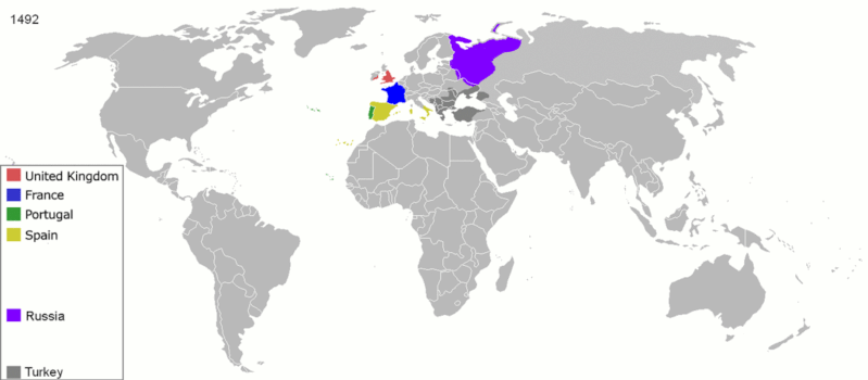
Map indicating the territories colonized by the European powers, United States and Japan.
Русский:
Карта с указанием территорий, колонизированных Европейскими державами, Соединёнными штатами и Японией.
|
||||||||||||||||
| Date | 23 June 2008 (original upload date) | ||||||||||||||||
| Source | Transferred from en.wikipedia to Commons. | ||||||||||||||||
| Author | ArdadN at English Wikipedia | ||||||||||||||||
| Other versions |
The maps can be seen separately by using this template:
Derivative works of this file: |
||||||||||||||||
.gif)
.jpg)
._LOC_2001620596.jpg)
Licensing
|
|
I, the copyright holder of this work, release this work into the
public domain
. This applies worldwide.
In some countries this may not be legally possible; if so: I grant anyone the right to use this work for any purpose , without any conditions, unless such conditions are required by law. |