Clark_County_Nevada_Incorporated_Areas_Henderson_highlighted.svg

Size of this PNG preview of this SVG file:
538 × 599 pixels
.
Other resolutions:
215 × 240 pixels
|
431 × 480 pixels
|
689 × 768 pixels
|
919 × 1,024 pixels
|
1,838 × 2,048 pixels
|
700 × 780 pixels
.
Summary
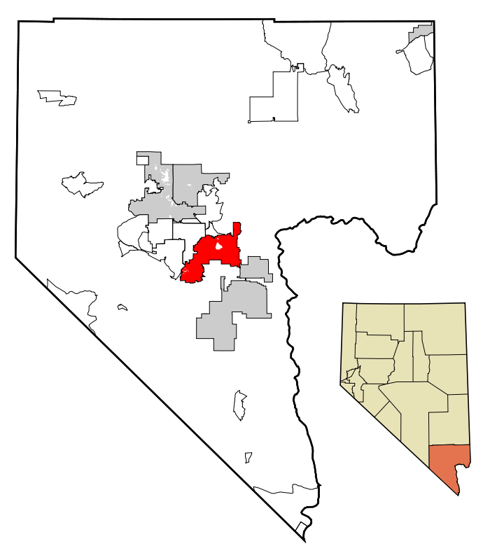
| Description | This map shows the incorporated areas in Clark County , Nevada . Henderson is highlighted in red. I created it in Inkscape using data from the following files: Census 2000 Block Map - Clark County ( PDF ) and Southern Nevada Public Lands Management Act Map ( PDF ) |
| Date | |
| Source | My own work, based on government information. Though I strove to be as accurate in the detail as possible, the information shown is not guaranteed to be completely accurate. |
| Author | Ixnayonthetimmay |
|
Permission
( Reusing this file ) |
Public Domain |
| Other versions | See Category:Maps of Clark County, Nevada for other versions of this image. |
Licensing
|
|
I, the copyright holder of this work, release this work into the
public domain
. This applies worldwide.
In some countries this may not be legally possible; if so: I grant anyone the right to use this work for any purpose , without any conditions, unless such conditions are required by law. |