Carpentras_-_Arc_Romain.JPG

Size of this preview:
800 × 600 pixels
.
Other resolutions:
320 × 240 pixels
|
640 × 480 pixels
|
1,024 × 768 pixels
|
1,280 × 960 pixels
|
2,560 × 1,920 pixels
|
4,000 × 3,000 pixels
.
Summary
| Description |
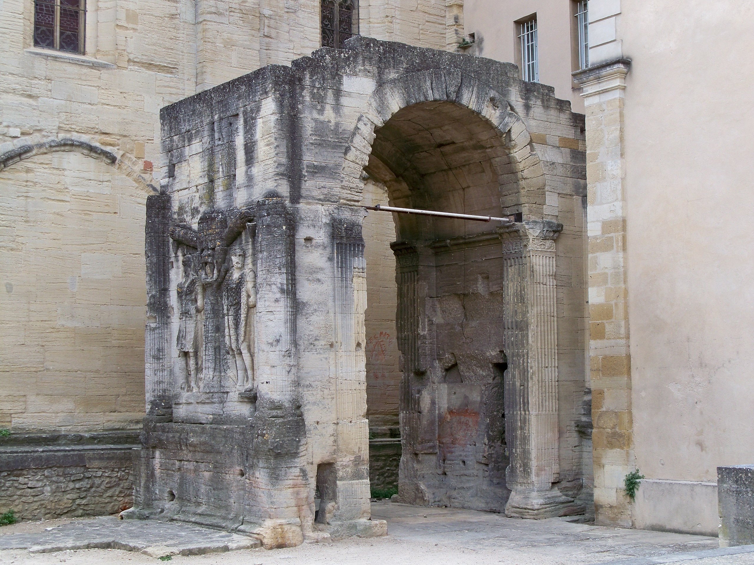
Français :
Arc de triomphe romain datant du Ier siècle (Carpentras, Vaucluse, France).
|
| Date | |
| Source | Own work |
| Author | Véronique PAGNIER |
| Object location |
|
View this and other nearby images on: OpenStreetMap |
|
|---|
|
|
This building is
classé au titre des
monuments historiques de la France
. It is indexed in the
base Mérimée
, a database of architectural heritage maintained by the
French Ministry of Culture
, under the reference
PA00081996
|
Localisation : 44°3′16.1″N 5°2′51″E / 44.054472°N 5.0475°E
Licensing
|
|
I, the copyright holder of this work, release this work into the
public domain
. This applies worldwide.
In some countries this may not be legally possible; if so: I grant anyone the right to use this work for any purpose , without any conditions, unless such conditions are required by law. |