Abraham_Ortelius_Map_of_Europe.jpg

Size of this preview:
800 × 584 pixels
.
Other resolutions:
320 × 234 pixels
|
640 × 467 pixels
|
1,024 × 748 pixels
|
1,280 × 935 pixels
|
2,691 × 1,965 pixels
.
Summary
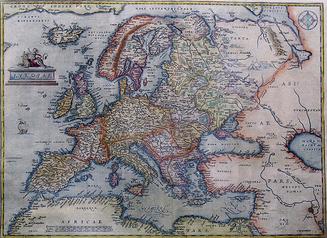
Hand-coloured copper engraving.
| Description | Map of Europe | |||||||||||||||||||||||
| Date | from 1570 until 1609 | |||||||||||||||||||||||
| Source | Orteliusmaps.com | |||||||||||||||||||||||
| Author |
|
|||||||||||||||||||||||
| Other versions |
Donaldheat.com Orteliusmaps.com a Orteliusmaps.com b Orteliusmaps.com c Orteliusmaps.com d Orteliusmaps.com e |
|||||||||||||||||||||||

Licensing
|
This is a faithful photographic reproduction of a two-dimensional,
public domain
work of art. The work of art itself is in the public domain for the following reason:
The official position taken by the Wikimedia Foundation is that "
faithful reproductions of two-dimensional public domain works of art are public domain
".
This photographic reproduction is therefore also considered to be in the public domain in the United States. In other jurisdictions, re-use of this content may be restricted; see Reuse of PD-Art photographs for details. |
||||