1482_Statt_Paadn.jpg

Size of this preview:
800 × 564 pixels
.
Other resolutions:
320 × 225 pixels
|
640 × 451 pixels
|
1,024 × 721 pixels
|
1,280 × 902 pixels
|
2,560 × 1,803 pixels
|
3,918 × 2,760 pixels
.
Summary
| Description |
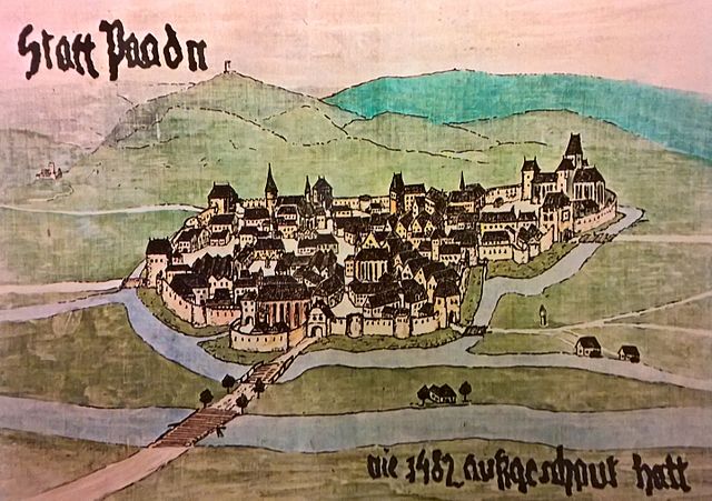
Deutsch:
Zeitgenössische Darstellung der Stadt Baden im Jahr 1482
|
| Date | |
| Source | Own work |
| Author | Sae1962 |
| Camera location |
|
View this and other nearby images on: OpenStreetMap |
|
|---|
Licensing
I, the copyright holder of this work, hereby publish it under the following license:
This file is licensed under the
Creative Commons
Attribution-Share Alike 4.0 International
license.
-
You are free:
- to share – to copy, distribute and transmit the work
- to remix – to adapt the work
-
Under the following conditions:
- attribution – You must give appropriate credit, provide a link to the license, and indicate if changes were made. You may do so in any reasonable manner, but not in any way that suggests the licensor endorses you or your use.
- share alike – If you remix, transform, or build upon the material, you must distribute your contributions under the same or compatible license as the original.